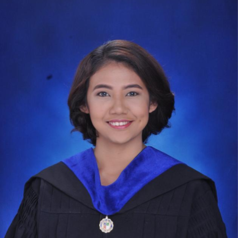
You are warmly invited to attend a talk on 7 June 2018, Thursday, 10:00am-11:30 a.m. at the Manila Observatory’s Heyden Hall. Ma. Catherine Lagare, an Environmental Science student from Ateneo de Davao University who qualified for this year’s BPI-DOST Science Awards, will be presenting her research, “Evaluation of WRF and WRF-Hydro Models in Simulating Heavy Rainfall and Streamflow in the Talomo Watershed: A Baseline Study for the Development of a Hydro-Meteorological Flood Forecasting System for Davao City.” Ms. Lagare is mentored by Dr. Rochelle Coronel of Ateneo de Davao University and Manila Observatory.
Abstract
Flooding in Davao City due to strong streamflow is mainly induced by heavy or long rainfall events brought by monsoons, large convective systems, typhoons, and thunderstorms, which cause strong streamflow along the city’s river systems. Flooding is considered as a critical hazard that often results in the loss of life and damage to property. The increasing occurrence of river flooding in Davao City brings up the need for a hydro-meteorological forecasting system that integrates the relationship of atmospheric phenomena and the streamflow within the Davao City’s watershed area. This study aims to evaluate the performance of the Weather and Research Forecasting (WRF), and the WRF-Hydrological (WRF-Hydro) models in simulating heavy rainfall and streamflow events in Davao City, respectively. The models were configured to simulate the observed intense precipitation and streamflow event in the Talomo River in 01 August 2015. A set of numerical experiments and sensitivity tests with model validation were performed to determine the optimal model setup for Davao City rainfall. The numerical run with the highest horizontal resolution and both WRF 1 (with WSM6 as microphysics scheme; New Tiedtke as cumulus scheme; RRTMG as long and short wave radiations schemes; Yonsei University as PBL scheme; Noah LSM as land surface scheme) and WRF 4 (with Goddard as microphysics scheme; Grell 3D Ensemble as cumulus scheme; RRTM as long wave radiation scheme; Dudhia as short wave radiation schemes; Yonsei University as PBL scheme; Noah LSM as land surface scheme) of WRF outperforms other test simulations. Output from WRF 1 and WRF 4 were then utilized as forcing to the hydrological model to simulate streamflow and forecast possible flood events within the city. Results from WRF-Hydro simulations show the capability of the model to recreate the observed hourly pattern of strong streamflow in the Talomo River during the first 24 hours of the simulations but had difficulty in modeling the forecasts (after 24 hours). Further tuning of the meteorological and hydrological models is needed to improve the accuracy of the output. Nevertheless, this study introduces numerical tools and baseline results to be used in developing a hydro-meteorological flood forecasting system among the major rivers of Davao City. An initial algorithm, the NWP-based Ready Assessment Flood Tool (N-RAFT), was developed to automate flood forecasting over Davao City.

